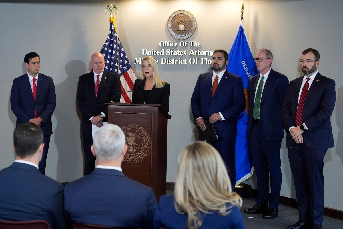
Theo Wells-Spackman is a Report for America corps member who reports for VTDigger.org.
Vergennes and Panton officials are attempting to clarify the boundary between the municipalities, after local officials identified a discrepancy between Vergennes tax maps and the city charter. The inconsistency may also have repercussions for other surrounding communities.
Vergennes’ tax maps show the city occupying over 1,600 acres, whereas the city’s charter sets the municipal limits at 1,200 acres. A recent survey resurfaced decades-old questions about the city’s boundary lines that current leaders are now trying to resolve.
The uncertainty has left some Vergennes residents unsure which municipality they will end up living in. Others have concerns about the financial implications of a boundary change, while officials hope an agreement between the municipalities can be reached smoothly and with relative speed.
The land in question between Vergennes and Panton totals some 178 acres of residential and commercial property, and both municipal governments will need to agree — through discussion or arbitration — to any new boundary proposal for approval by the state legislature.
At a packed Vergennes Fire Department on Tuesday evening, mayor Chris Bearor called to order “the first of probably many meetings” on the Panton boundary. Several meetings have also been held in Panton.
At times, Tuesday’s meeting grew contentious.
Travis Scribner, who lives on part of the disputed land, said if the boundary moves, he effectively “didn’t get to choose which town I get to live in.”
“I’ve been a resident of Vergennes for 22 years,” he said after the meeting. “It’s really a bizarre situation.”
Martha DeGraaf, a longtime Panton resident, said Wednesday that while she didn’t want to be “stomped all over by Vergennes anymore,” the tone of the previous day’s meeting was “not healthy.”
“We are two strong communities, and we can come together and find a reasonable solution,” she said.

‘Significant discrepancies’
Historical documents provided by Vergennes and Panton municipalities indicate that officials became aware of the boundary issue in the 1990s, when correspondence on the subject was exchanged between residents, Ferrisburgh officials, legal representatives, and then-Secretary of State Jim Milne.
A 1995 letter from Bob Mitchell, a member of the Ferrisburgh Historical Society, described “significant discrepancies” at several of Vergennes’ borders with the surrounding towns, which included not only Panton but Ferrisburgh and Waltham as well.
Talks between Vergennes and the latter two towns have not yet begun. Ferrisburgh officials declined to comment on the issue, and the Waltham town office did not respond to requests for comment.
At Tuesday’s meeting, Vergennes Alderman Mark Koenig called the current issue with Panton “the first of three,” and anticipates future talks with the other two affected towns.
The current tax maps in Vergennes were drawn in the early 1990s by former city manager Mel Hawley, who said he used a combination of property surveys and town highway markers as his main reference points.
Hawley said in an interview he was aware of the discrepancy between the tax map and the city charter, but that a “mountain of evidence” dating back to 1788 shows Vergennes encompassing more than 1,600 acres rather than the 1,200 stated in the charter. He also referenced a now-amended statute which stated that, in the absence of a clear boundary, mutually agreed town boundaries lasting over a century would be binding.
The disagreement was never resolved.

Tim Cowan, a local surveyor who first worked on the issue 30 years ago and has been hired again this year, said because of statutory complications — which have since changed — and a lack of perceived urgency, the discussion of Vergennes’ borders “just kinda went to sleep.”
Vergennes City Manager Ron Redmond said the issue had arisen again partly because of a grant from the Addison County Regional Planning Commission to explore a potential highway bypass of Vergennes to avoid extreme truck traffic through town. The state-sponsored study included a survey of town boundary lines, he said.
‘A functional resolution’
Redmond said he and Panton Town Clerk and Treasurer Kyle Rowe had a shared goal of making any town line transition as smooth as possible. They have proposed, for example, guaranteeing access to the Vergennes sewer system for customers it currently serves.
“The only thing that should change is where you vote and where you pay your taxes,” Rowe said.


Vergennes resident Craig Miner said he was concerned moving the boundary would cause the city to give up land that could become more valuable in the future (a rough valuation of the 178 acres of property is about $10 million). Miner is also worried that taxes will increase due to the change.
“I think it’ll separate the community and create a dysfunctional combination of towns,” he said. “I think there’s a lot at stake.”
Rowe and Redmond have made a “starting proposal” for a new boundary, which would give some land to Panton while retaining certain parcels in Vergennes that might be more complicated to transfer. Rowe estimated the change would cause a roughly 1-cent tax increase for Vergennes residents. Since both municipalities use the same regional schools, education taxes won’t be significantly impacted.
While any land Vergennes gives to Panton could potentially gain value, Redmond added, recent speculation about the extent of its future worth was “maybe not realistic.”

“I understand the concern (from) community members who are being impacted by this proposal,” Rep. Matt Birong, D-Vergennes, said.
In addition to representing the city, Birong chairs the House Committee on Government Operations and Military Affairs, which would review any proposed changes to the city’s charter or boundary lines.
“Last night left me encouraged that we’ll find a functional resolution to this long-standing border issue,” Birong said Wednesday.
Correction: A previous version of this story mislabeled Panton Town Clerk and Treasurer Kyle Rowe.